Log in
All resources
Create a design
52,119 Free Images of Old Celestial Maps
maps made in the 17th century
atlantis magni tomus tertius (biblioteca comunale di trento)
gerard valck
maps by pieter schenk (i)
atlas van der hagen
maps with cartouches
fonds ancely - bibliothèque municipale de toulouse - maps
victor levasseur - maps of france
maps made in the 18th century
atlas van der hagen (volume 3)
hand-drawn maps and views of world war i battlefields by h.m.
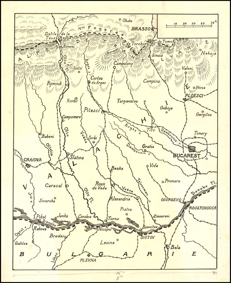
old maps of wallachia
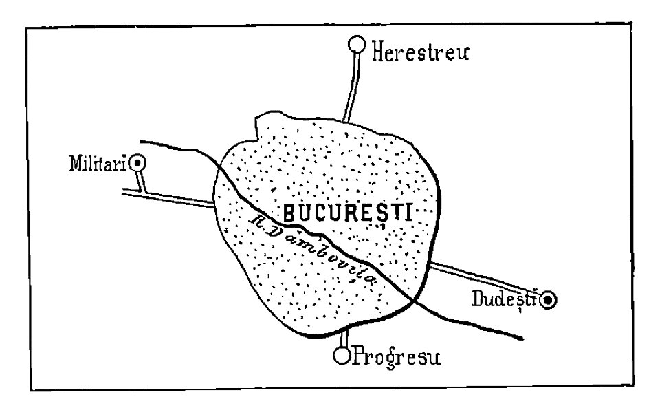
bucharest
military
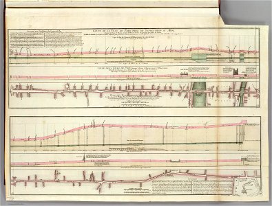
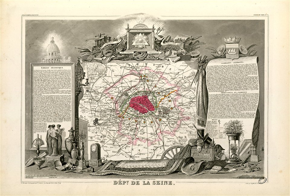
seine river in paris
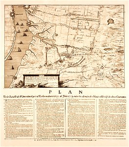
old submaps of paris
merksem
lillo
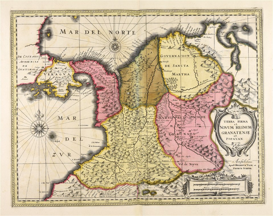
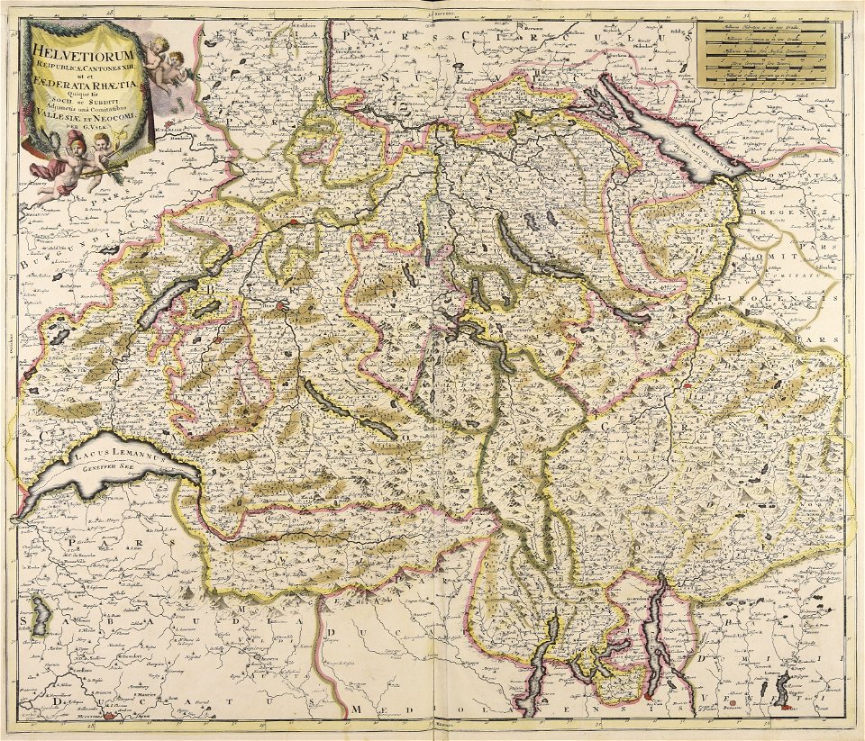
maps made in the 17th century
gerard valck
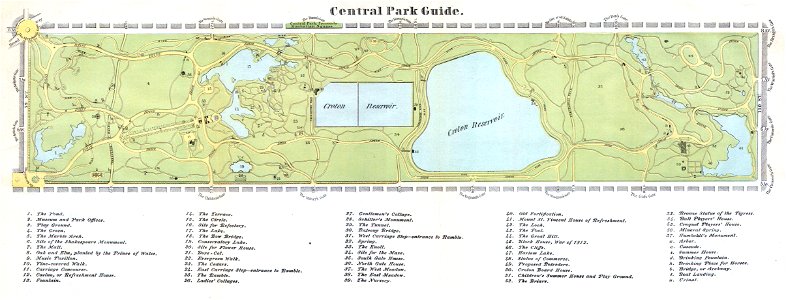
old maps of manhattan
new york city
maps of the ottoman empire in the 19th century
maps by joseph hutchins colton
maps in the rijksmuseum amsterdam
sloten (amsterdam)
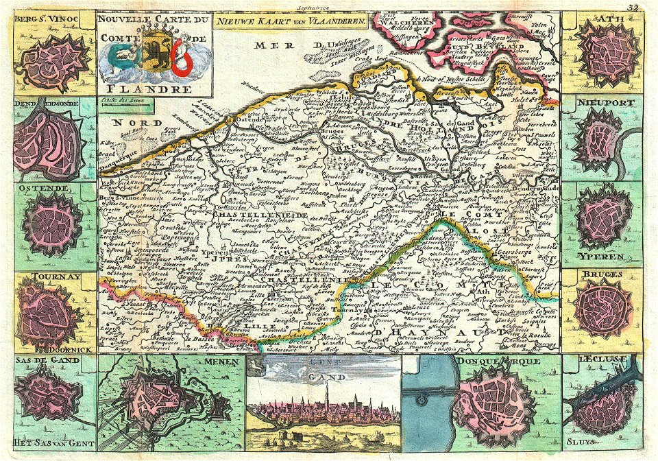
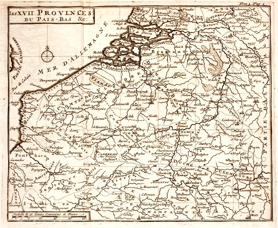
maps of the county of flanders
johannes ratelband
french-language maps
johannes ratelband
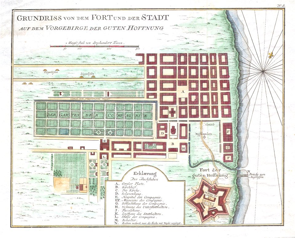
history of cape town
german-language maps
frédéric-auguste laguillermie
molière
maps made in the 17th century
maps by nicolas sanson
1700s maps of belgium
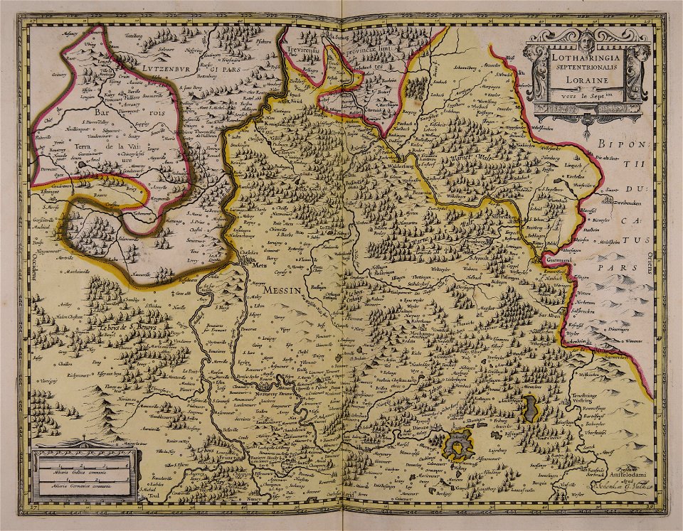
old maps of lorraine
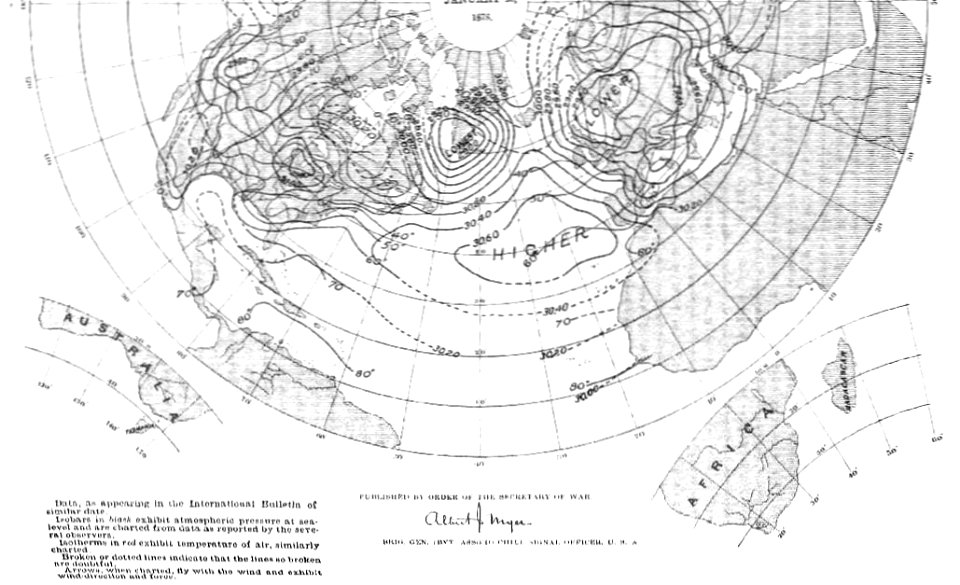
old weather and climate maps
1880 maps
maps made in the 17th century
maps by johannes janssonius
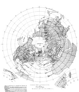
old weather and climate maps
1880 maps
travels in sicily greece and albania
old maps of greece
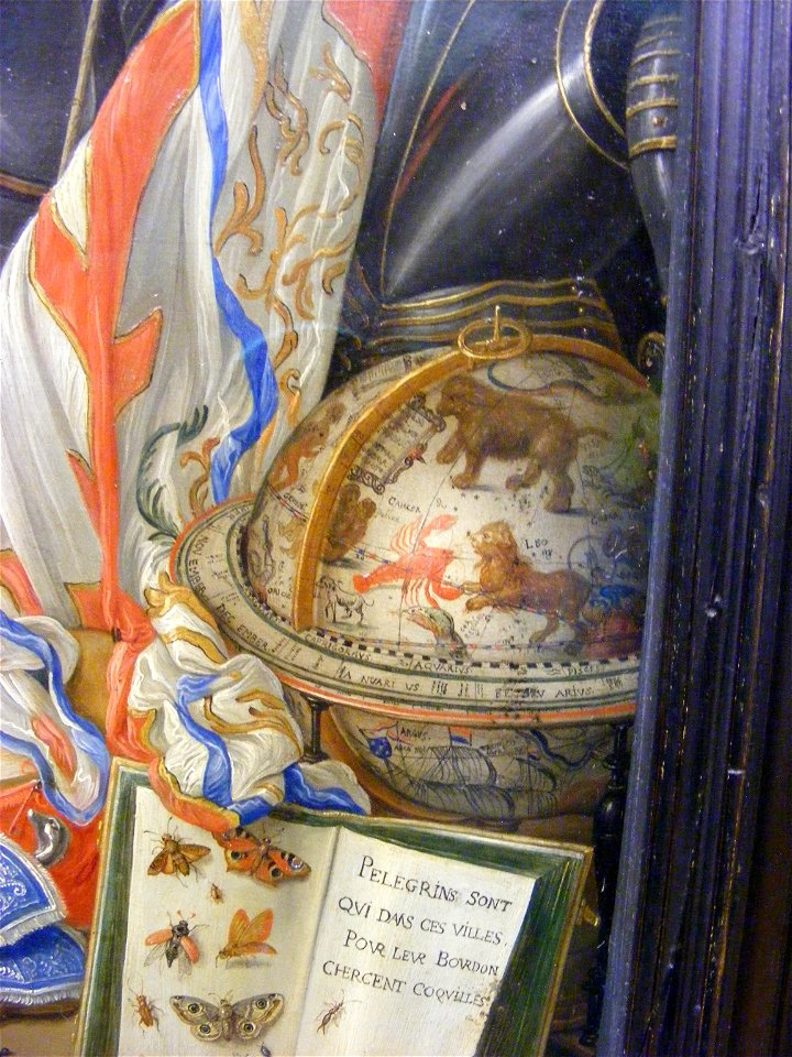
signs of western astrology in art
celestial globe
celestial cartography
astronomy
maps made in the 18th century
gerard valck
maps made in the 18th century
gerard valck
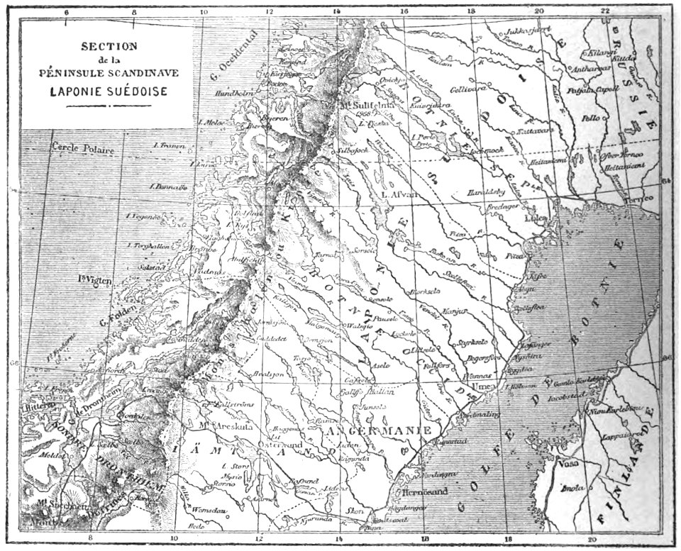
19th-century maps of sweden
sweden in the 1850s
maps made in the 17th century
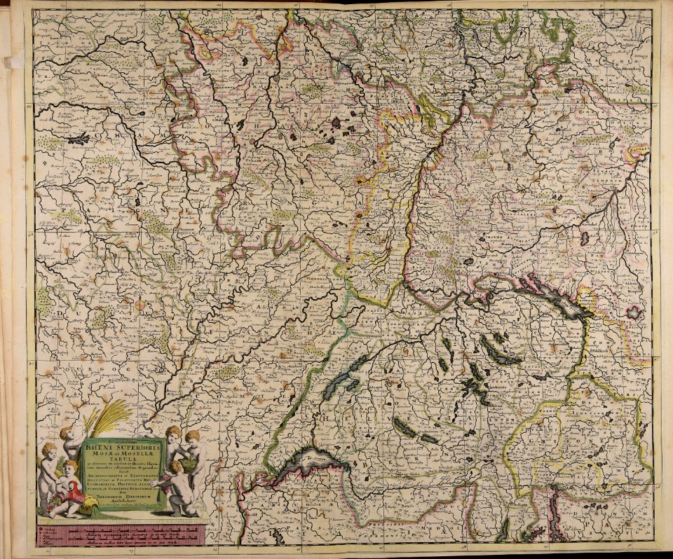
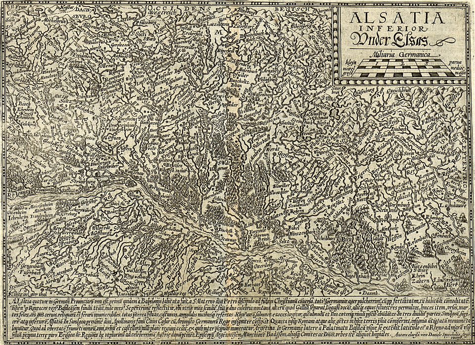
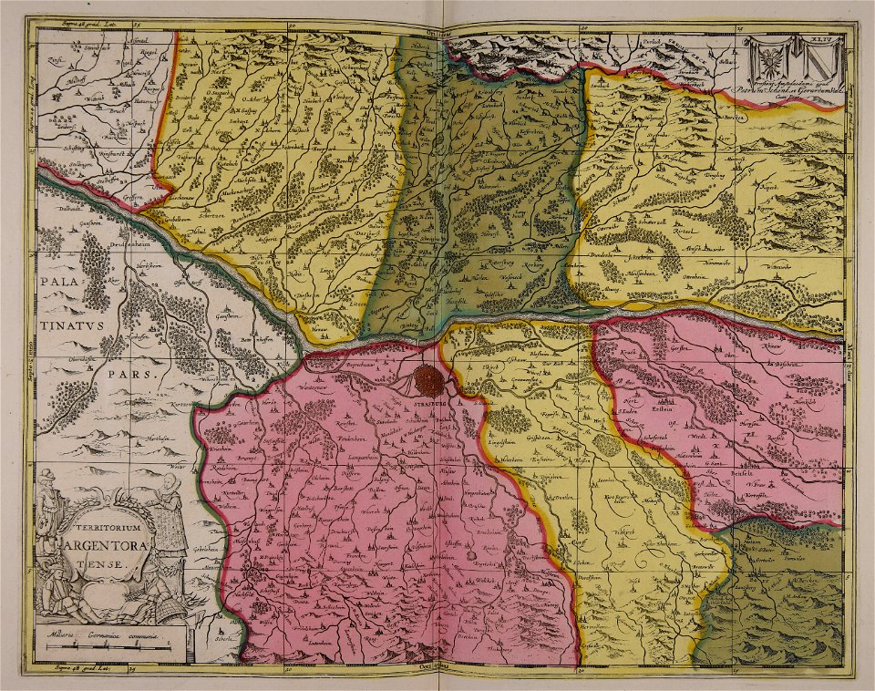
old maps of alsace
maps made in the 17th century
jan janssonius
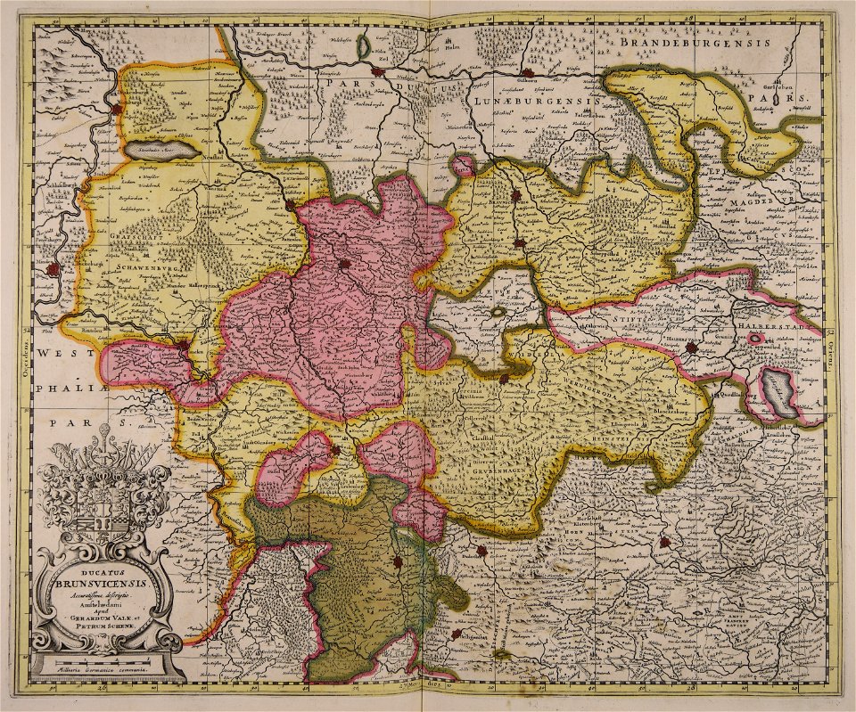
braunschweig in the 1880s
old maps of braunschweig
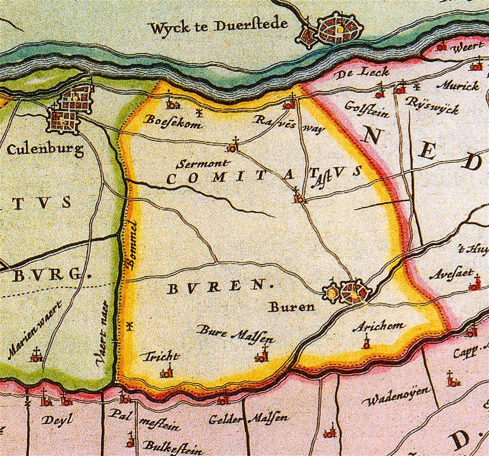
old maps of gelderland
gelderland
maps made in the 17th century
old maps of europe
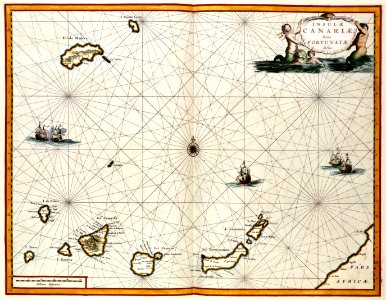
old maps of the canary islands
1667
illustrations from the sea serpent by george roux
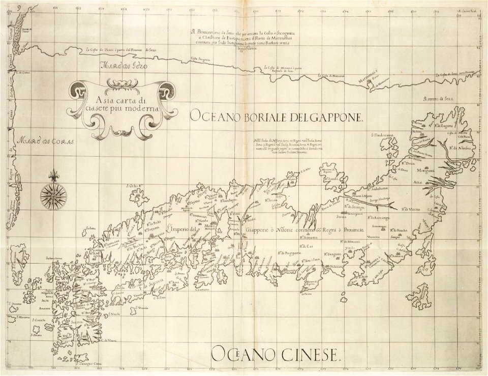
20th-century maps of japan
atlas van der hagen
copper engraving
maps with cartouches
atlas van der hagen
maps with cartouches
old maps of malta
maps with cartouches
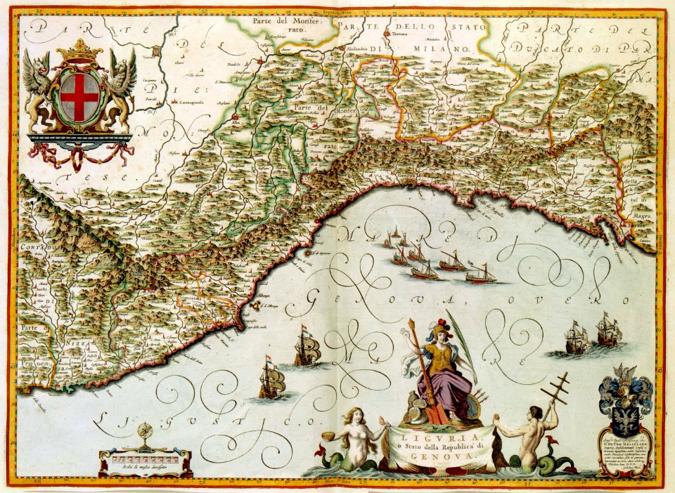
old maps of genoa
maps with cartouches
atlas van der hagen
maps with cartouches
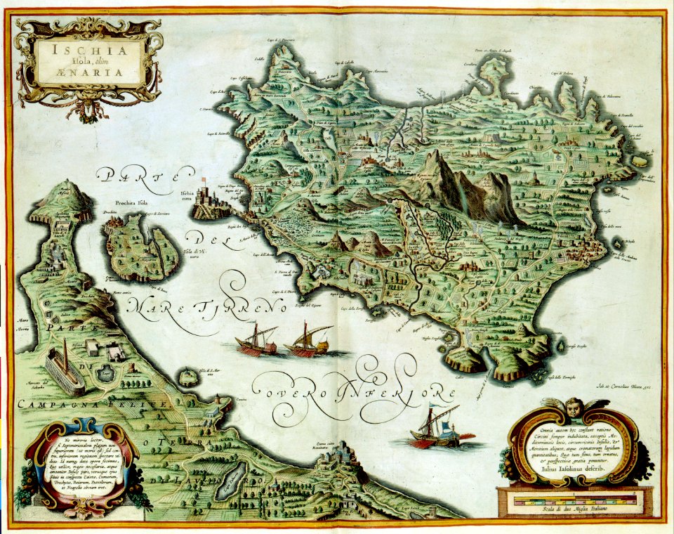
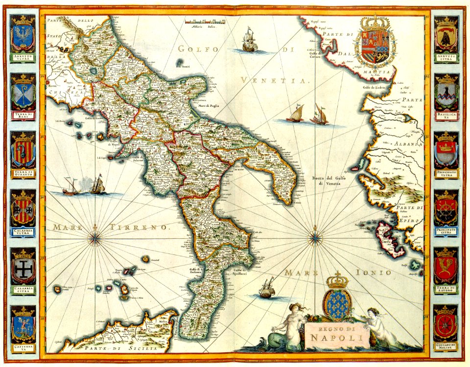
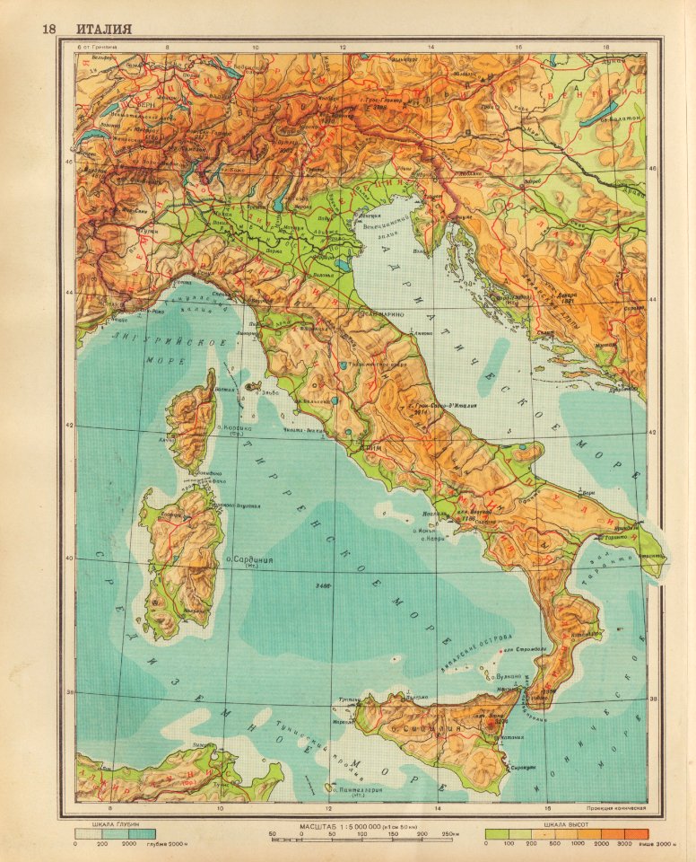
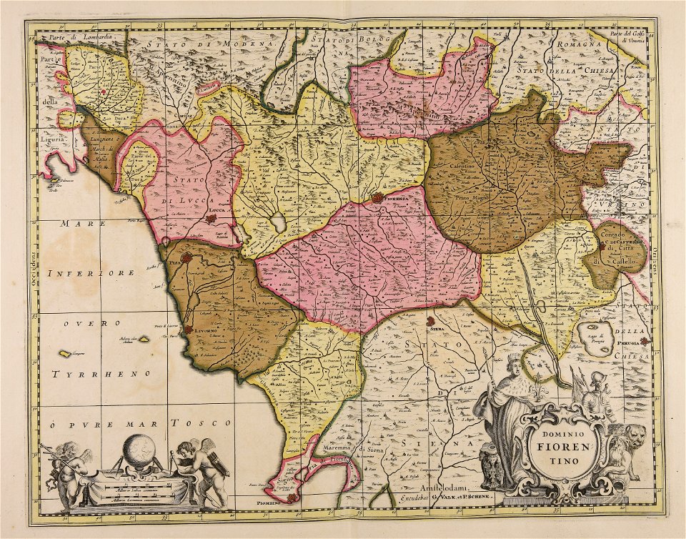
old maps of italy
wagner & debes
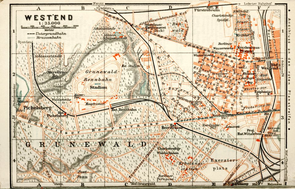
1914 in berlin
collections de la bibliothèque nationale et universitaire de strasbourg
matthias quad
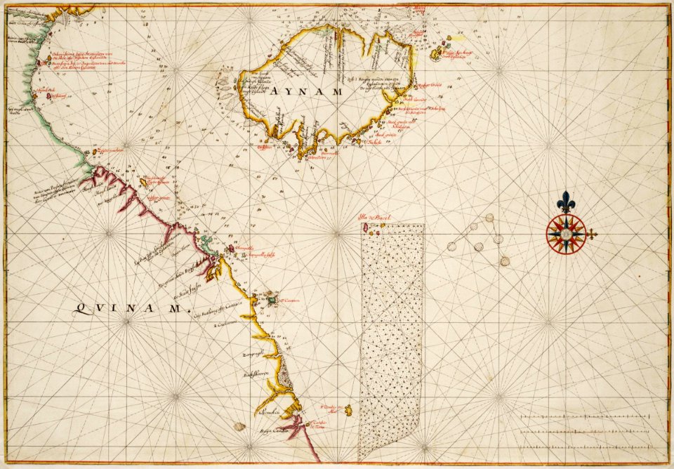
trịnh lords
1665
18th-century maps of indonesia
1744
maps made in the 18th century
gerard valck
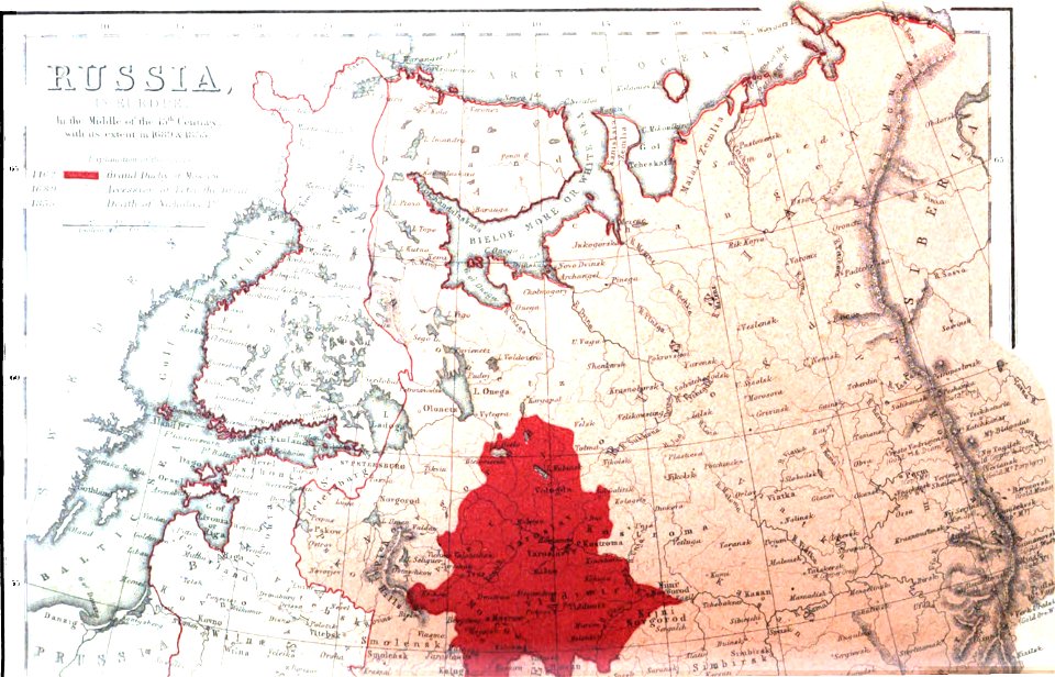
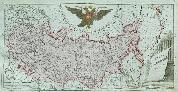
old maps of the tsardom of russia
history of valuyki
maps made in the 17th century
jan janssonius
voyage pittoresque de la grèce
i̇zmir in the 18th century
geographical atlas for the 5-6 grades of secondary school (1941)
old maps of italy
atlantis magni tomus primus (biblioteca comunale di trento)
maps made in the 17th century
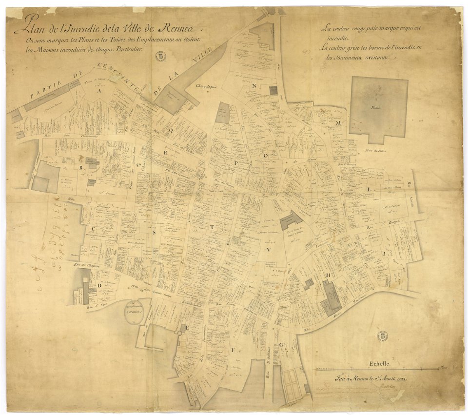
great rennes fire of 1720
old maps of rennes
maps made in the 18th century
gerard valck
1822 in bavaria
ehrenbürg
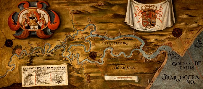
guadalquivir
1760 maps
prints from manesson travaux de mars at the peace palace library
old maps of béthune
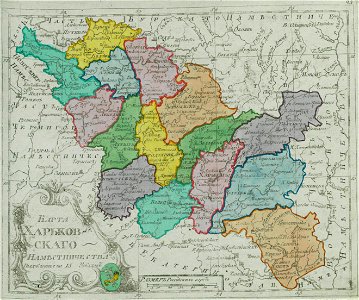
small atlas of the russian empire (1792)
kharkov viceroyalty
dutch 17th-century prints in the rijksmuseum amsterdam
netherlands
old maps of the russian empire
1856 maps
maps made in the 17th century
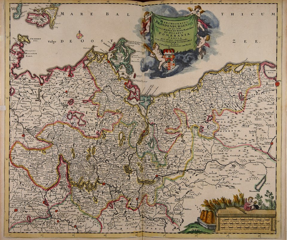
old maps of brandenburg
braun & hogenberg
copper engraving
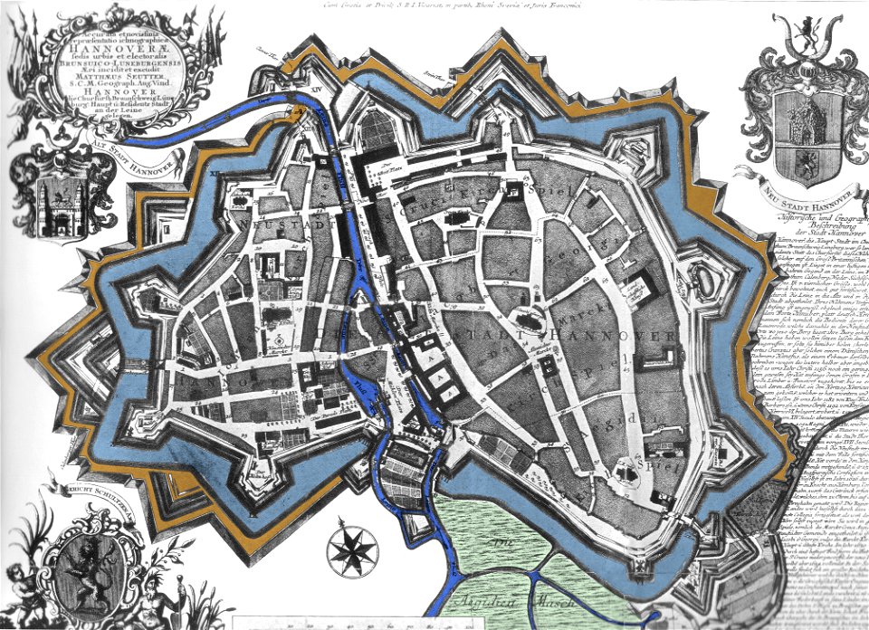
maps by matthäus seutter
city walls in hannover
maps made in the 17th century
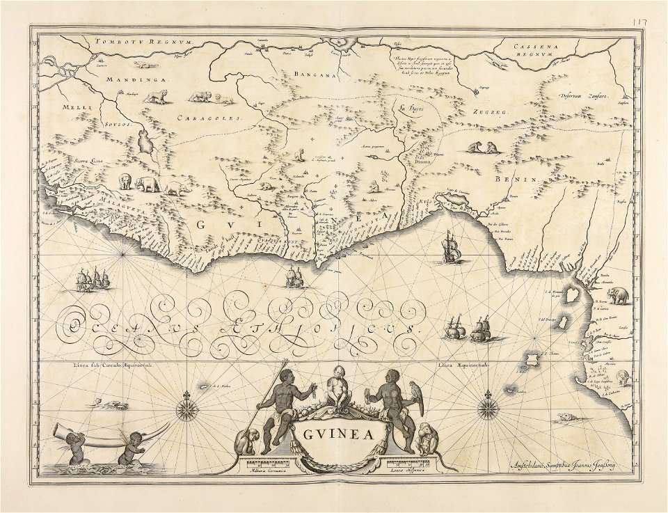
old maps of guinea
maps made in the 17th century
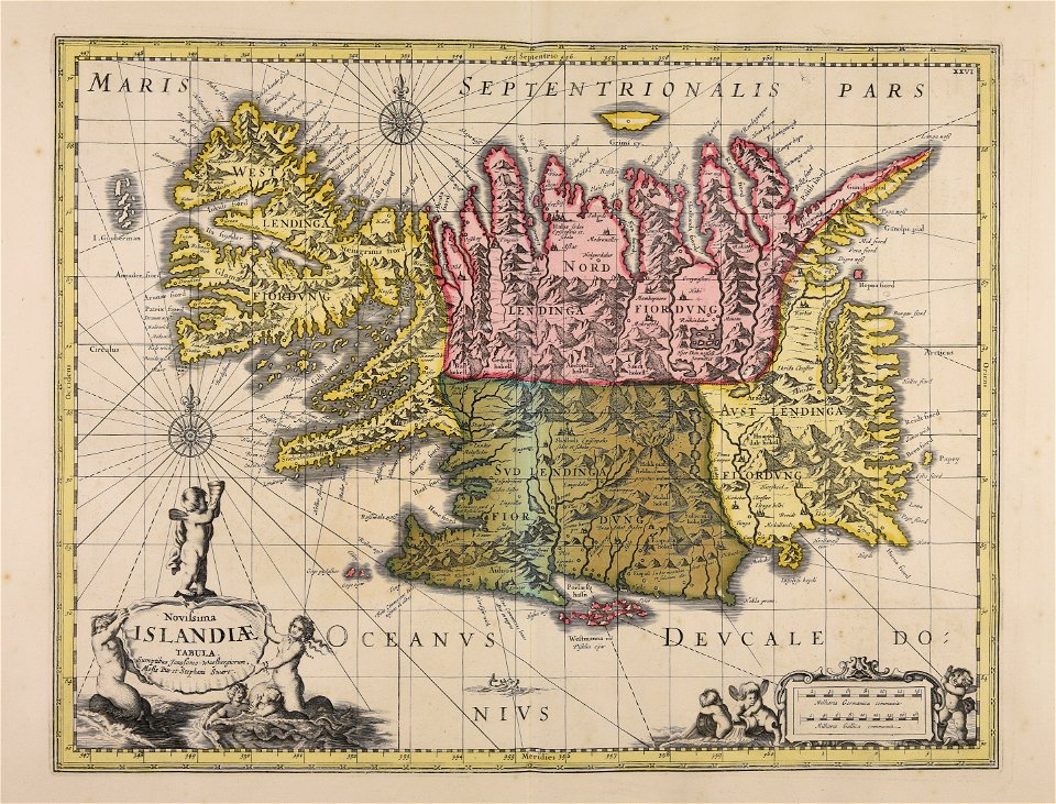
old maps of iceland
maps of the franco-dutch war
history of the french navy
engravings in the rijksmuseum amsterdam
old maps of venice
hawaii in the 1810s
louis choris
dell'arcano del mare
harvard university
old maps of the russian empire
catherine the great
maps made in the 17th century
old maps of skåne
maps by willem and johannes blaeu
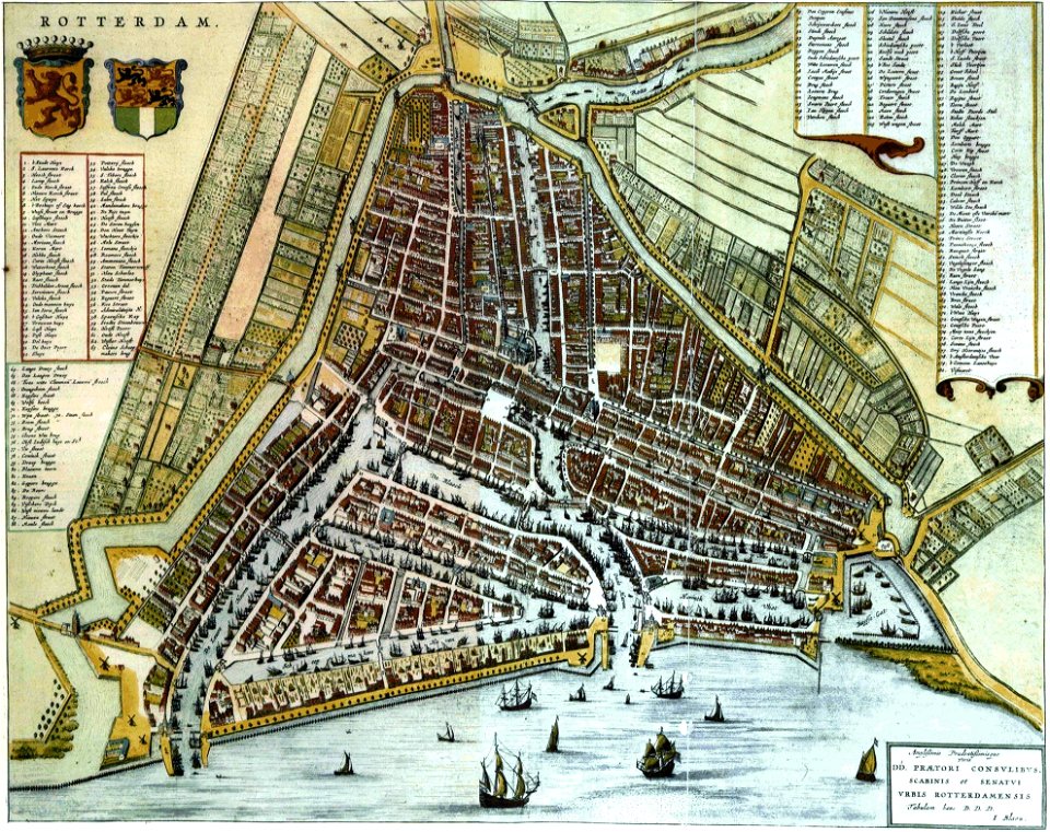
old maps of rotterdam
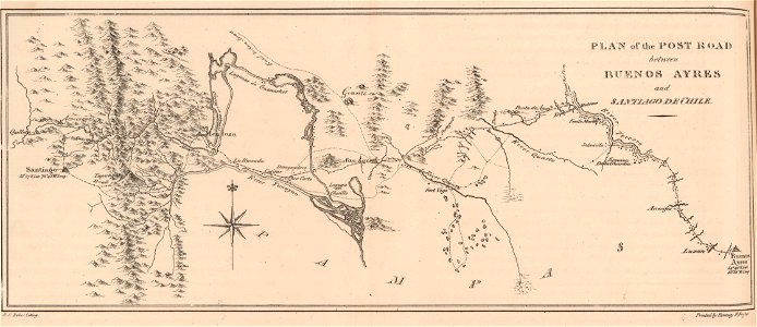
19th-century maps of argentina
1820s lithographs
atlas of the russian empire (1800)
maps of astrakhan governorate
images from bristol past and present (1882)
bristol
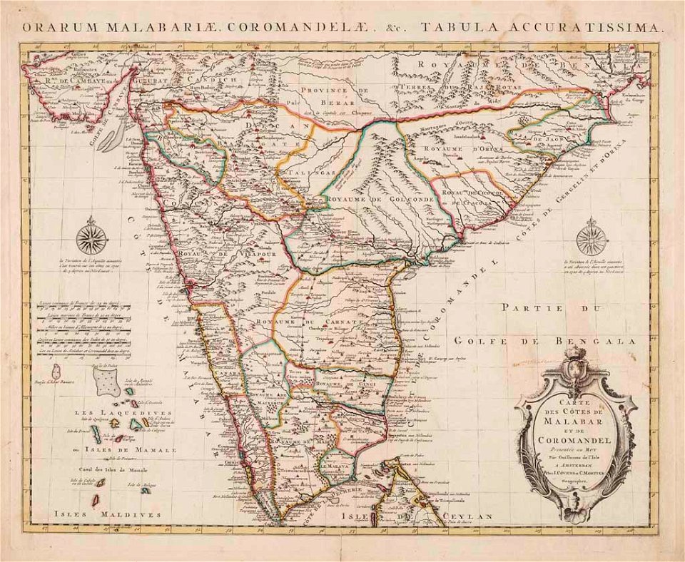
old maps of the malabar coast
18th-century maps of india
historia de gentibus septentrionalibus
öland
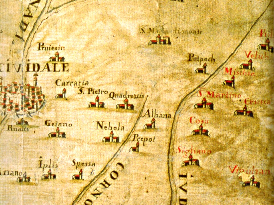
santuario della beata vergine di castelmonte
historical images of cividale del friuli
maps made in the 18th century
gerard valck
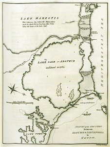
old maps of alexandria
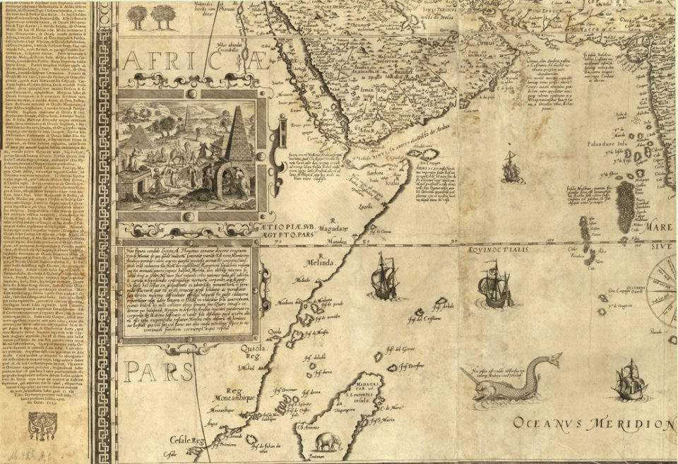
asia and africa
atlantis magni tomus tertius (biblioteca comunale di trento)
maps made in the 17th century
atlantis magni tomus tertius (biblioteca comunale di trento)
maps made in the 17th century
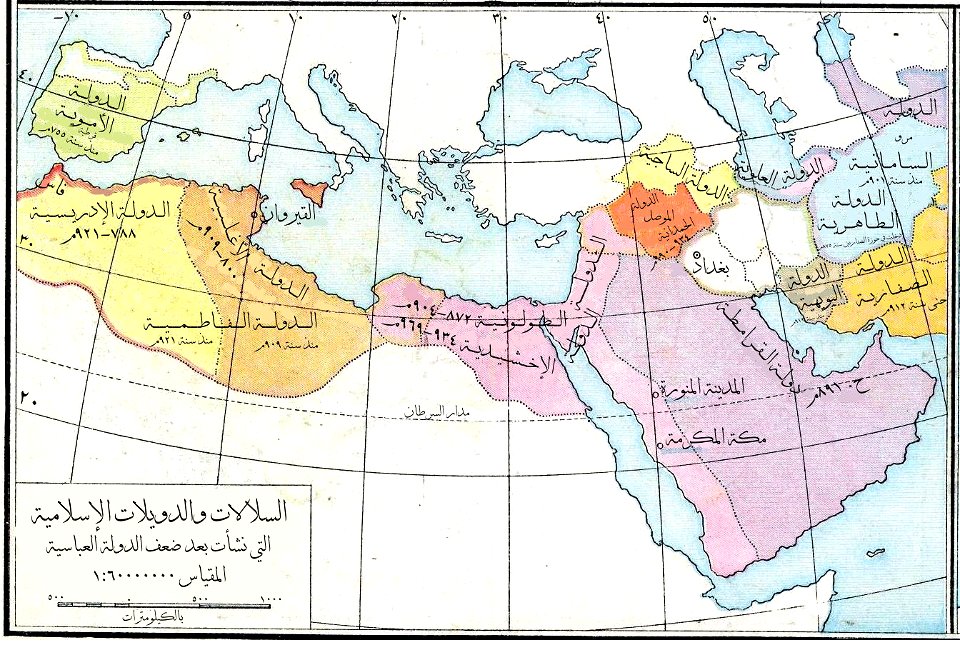
old maps of the middle east
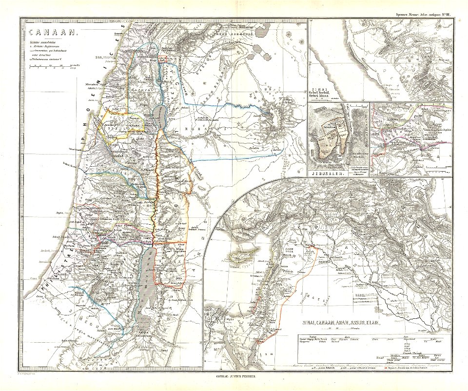
maps of canaan
maps of midian
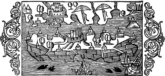
ships on maps
maps from allgemeiner historischer handatlas
arabic-language maps
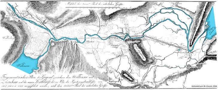
linthebene
linth
pages with isbn errors
000
maps made in the 17th century
gerard valck
maps made in the 17th century
gerard valck
maps made in the 17th century
gerard valck
maps made in the 17th century
gerard valck
maps with cartouches
atlas van der hagen
maps made in the 17th century
gerard valck
old maps of the dutch east india company
1660s
old maps of the dutch east india company
1747)
maps made in the 17th century
gerard valck
maps made in the 17th century
gerard valck
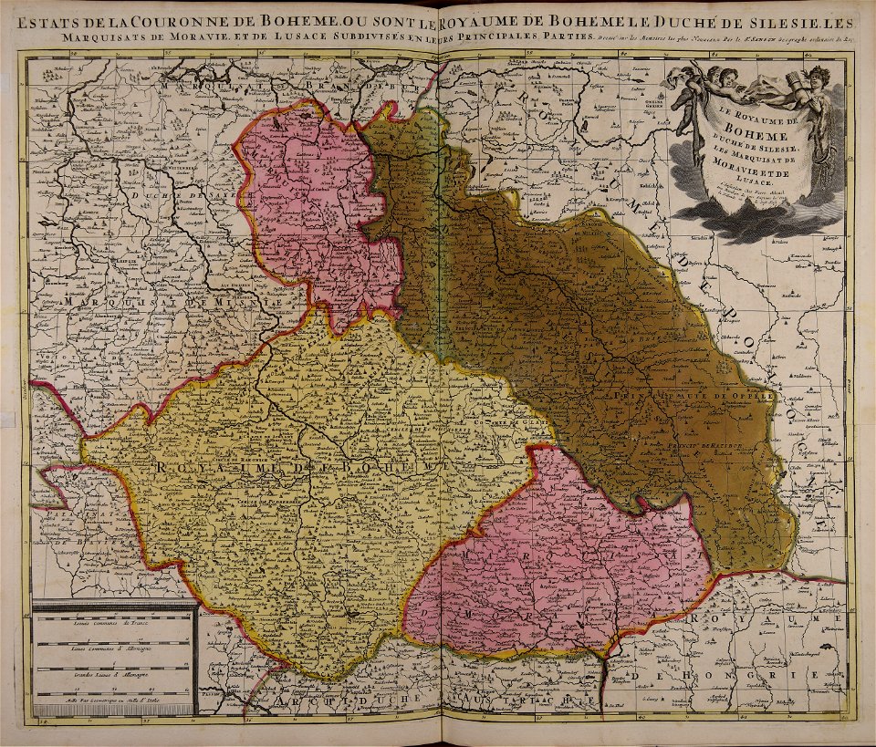
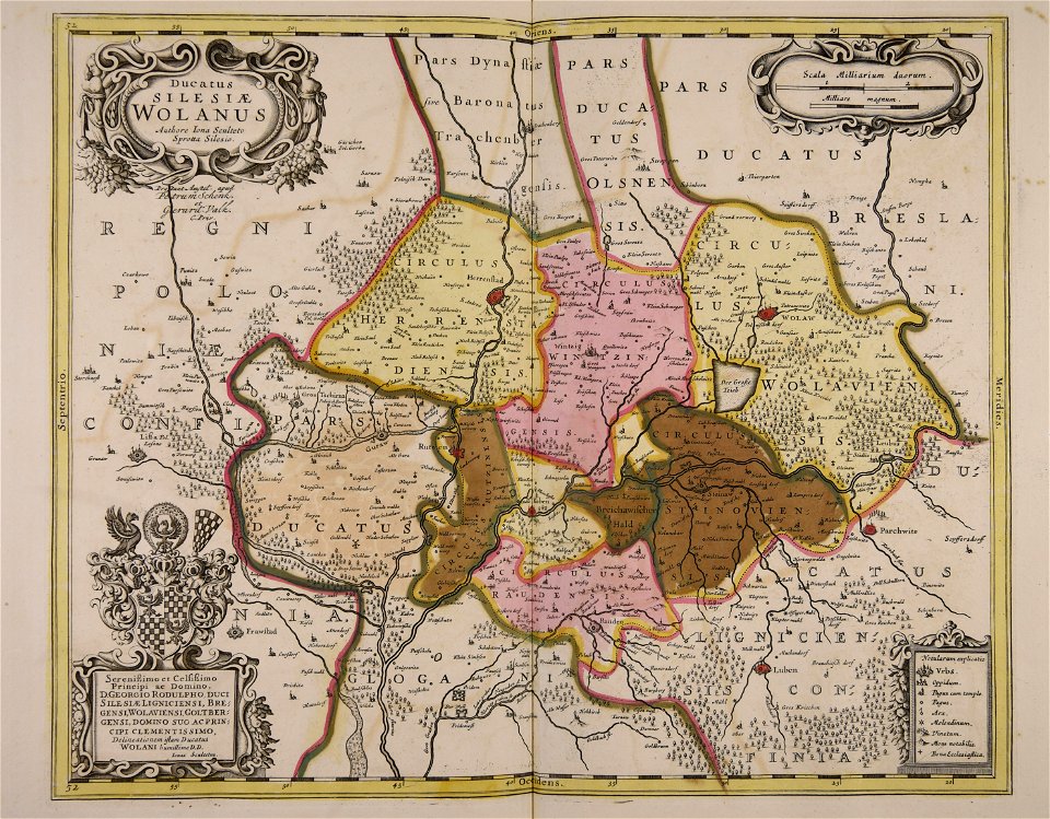
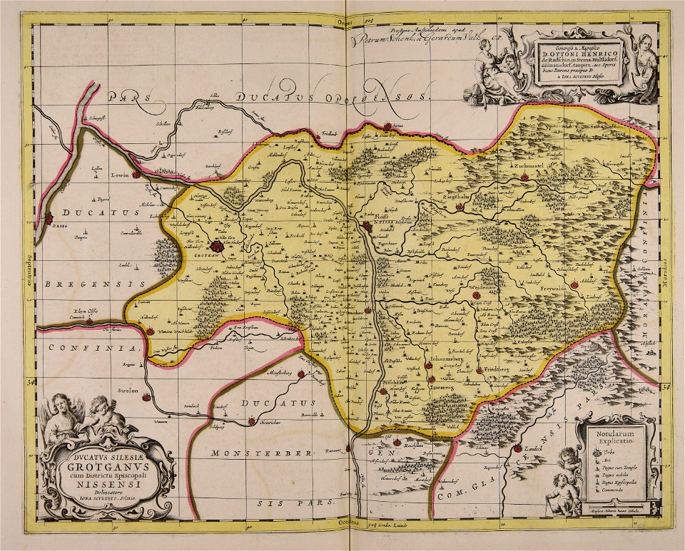
old maps of silesia
gerard valck
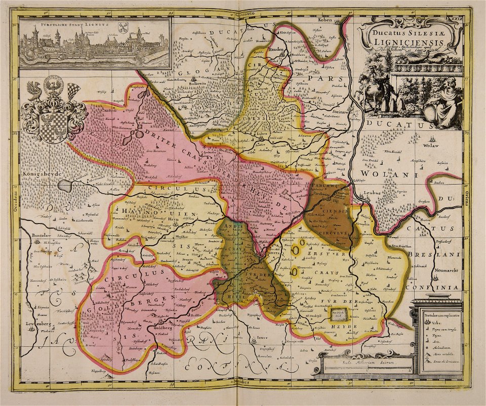
old maps of silesia
gerard valck
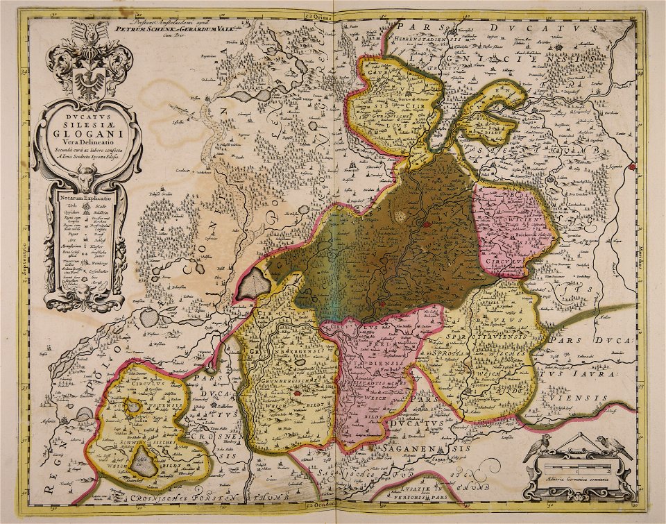
old maps of silesia
gerard valck
maps made in the 17th century
gerard valck
old maps of silesia
gerard valck
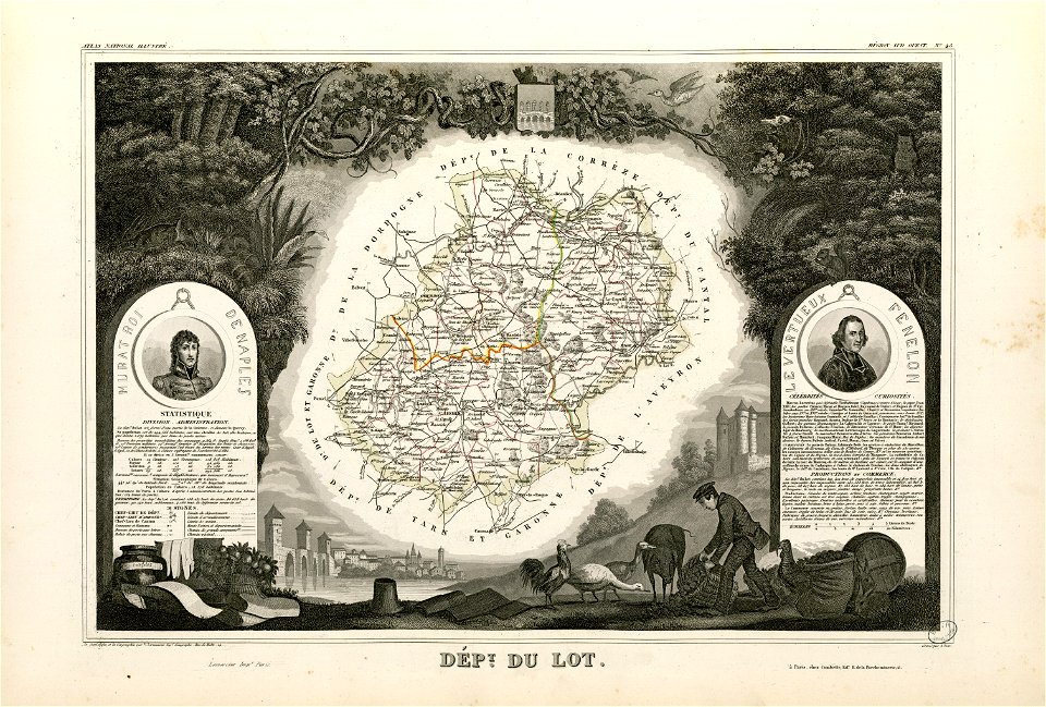
fonds ancely - bibliothèque municipale de toulouse - maps
coats of arms of cities in pyrénées-atlantiques
fonds ancely - bibliothèque municipale de toulouse - maps
joachim murat
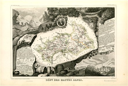
fonds ancely - bibliothèque municipale de toulouse - maps
coats of arms of cities in hautes-alpes
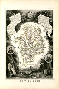
fonds ancely - bibliothèque municipale de toulouse - maps
coats of arms of cities in cher
3501 - 3600 of 52,119
Next page
/ 522